
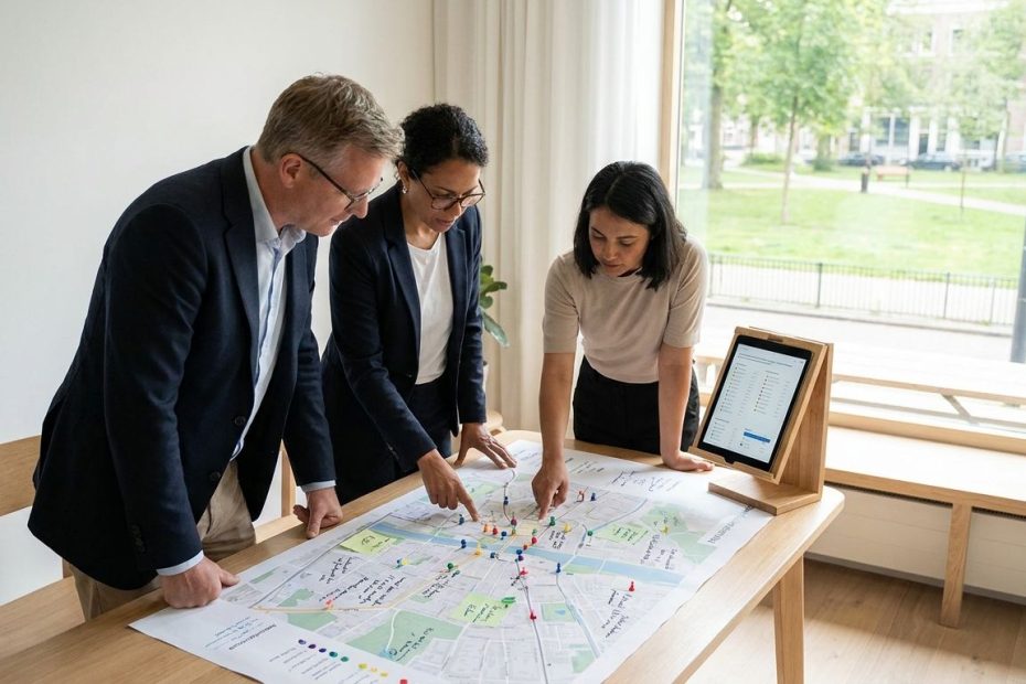
Mapping and feedback tools for community projects work best when they connect comments to place, show how decisions change, and make analysis easier for your team. If you need real input rather than optics, choose a platform that pairs interactive maps with surveys, discussion, reporting, and a clear way to close the feedback loop.
This guide compares seven tools often used for participatory mapping, place-based engagement, planning consultation, and community co-design. You’ll see where each tool fits, what it’s good at, and where you need to be careful before you ask residents for their time. The right choice depends less on the flashiest map and more on whether you can turn mapped comments into decisions people can recognize.
1. Maptionnaire: Best For Deep Map-Based Surveys And Planning Analysis
Maptionnaire is a strong fit when your project needs structured map responses, not just scattered pins. It works well for planning teams that want residents to mark routes, identify problem areas, compare options, and answer survey questions tied to specific places. If you’re running a corridor study, park master plan, mobility project, campus plan, or neighborhood design process, this kind of map-based survey structure helps you collect input that can be sorted and reviewed later.
The reason Maptionnaire stands out is that it treats public input as data your team must use, not decoration on a project page. Its official materials describe map-based questionnaires, Geographic Information System(GIS)-compatible location feedback, multilingual surveys, heatmaps, exports, online reports, and tools for sharing results. That combination matters when your team needs to move from “people commented here” to “these are the patterns, these are the tradeoffs, and this is what changed.”
Use Maptionnaire when you already know the planning questions you need answered. It’s less useful if your project is still vague and you only want open brainstorming. Before launch, write the questions your final report must answer: where people feel unsafe, which routes they use, where access is poor, which public spaces feel underused, and which design options have support. Then build the map survey around those decisions, not around a generic engagement goal.
2. Social Pinpoint: Best For Interactive Mapping, Forums, And Surveys In One Place
Social Pinpoint is a practical choice when your project needs more than a single map. It combines interactive mapping with other engagement formats, giving residents several ways to participate depending on the issue. A resident may drop a pin about a dangerous crossing, answer a survey about priorities, or join a discussion thread about a project alternative. That range helps reduce the “one tool, one type of voice” problem.
Its Social Map tool is designed for location-based feedback, pin comments, marker categories, forms linked to marker types, and spatial data review. That matters when you’re dealing with multiple themes on the same map, maybe safety, access, public space, drainage, transit, or street design. Instead of dumping every comment into one pile, you can sort responses by place and category.
Choose Social Pinpoint if your team needs a public-facing engagement hub that can carry a project through several rounds. It’s useful when you want a map for place-based comments, a survey for structured questions, and a discussion space for longer responses. To avoid optics, publish a plain-language update after each engagement phase: what you heard, what you’re changing, what you can’t change, and why.
3. Commonplace: Best For Place-Based Engagement And Community Sentiment
Commonplace is best known for place-based engagement, planning, and resident sentiment around local change. It has been especially associated with United Kingdom(UK) planning and consultation work, and it now sits under Zencity after Zencity acquired Commonplace. That matters for buyers because you should review the current product package, branding, and support model before comparing it with older Commonplace materials.
The fit is strongest when you need to understand how residents feel about specific streets, places, proposals, or services. Zencity’s current materials describe community consultation, resident feedback, sentiment monitoring, representative surveys, and embedding resident evidence into decisions. For local government teams, that can support projects where public feeling is as important as the map location itself.
Use Commonplace or its current Zencity version when your engagement needs a strong public-facing consultation experience and a way to read patterns across many comments. It’s not enough to count positive and negative responses, though. Your team still needs to review what people are reacting to, who participated, what areas are missing, and whether the final decision reflects the evidence collected.
4. Neighborland: Best As A Proven Engagement Model, Not A New Software Purchase
Neighborland deserves a place in this list for its influence on digital civic engagement, but you should treat it differently from the active software tools here. Its current site states that Neighborland was a public engagement platform for government agencies, place-makers, and civic organizations, was acquired by Nextdoor in 2019, and operated until 2023. That means it’s better viewed as a model for project design than as a platform to buy for a new community project.
Its value is the engagement pattern it helped popularize: invite residents to shape ideas, make participation easy, connect comments to projects, and show public outcomes. That matters if your team is building a process around ideation and voting rather than detailed Geographic Information System(GIS) analysis. It can help you think through how to phrase prompts, lower the barrier to entry, and create a public record of priorities.
If you need active software, don’t shortlist Neighborland without confirming current availability and service options. If you’re designing your engagement process, study the basic lesson: residents need to see a path from contribution to action. Voting, likes, and idea boards can attract participation, but they become optics if your team never explains which ideas moved forward and which ones did not.
5. ArcGIS Hub And Survey123: Best For Teams Already Using Esri
ArcGIS Hub and Survey123 are a strong fit when your organization already works inside the Environmental Systems Research Institute(Esri) product family. ArcGIS Hub supports public sites, open data sharing, maps, applications, and engagement features. Survey123 adds form-based data collection, and it can include location questions where residents or field staff select points, lines, or shapes on a map.
This option is especially useful for municipal departments, regional agencies, utilities, universities, and planning teams that already manage spatial data in ArcGIS. If your staff already uses ArcGIS Online, hosted feature layers, dashboards, or web maps, keeping engagement data in the same system can reduce export headaches. The tradeoff is that configuration, permissions, and public usability need careful testing before launch.
Choose ArcGIS Hub and Survey123 when your internal workflow matters as much as the public interface. You can publish project information, embed maps, collect survey responses, and connect location data back to your Geographic Information System(GIS). To keep it resident-friendly, test the form on a phone, reduce unnecessary fields, avoid technical labels, and offer a non-map question for people who can describe a place better than they can pin it.
6. coUrbanize: Best For Development Projects That Need A Visible Feedback Loop
coUrbanize is built around community engagement for development, planning, and municipal teams. It’s a good fit when your project needs to share updates, collect comments, report themes, and show that feedback is being taken seriously. That can matter for housing, mixed-use development, public facilities, budgeting, or redevelopment projects where trust is fragile before the first meeting starts.
The platform’s official materials describe turning community feedback into actionable findings, Artificial Intelligence(AI)-powered reports, multilingual engagement, and use by real estate, municipal, and planning teams in North America. Its public examples emphasize transparent updates and feedback collection at project scale. That makes coUrbanize useful when your team needs a public record that people can revisit, not just a one-time survey link.
Use coUrbanize when the project team must communicate progress as much as collect feedback. Development projects often fail at the follow-up stage: residents comment, months pass, and no one knows whether the design changed. A visible project page, translated outreach, comment tracking, and plain updates can help prevent that gap.
7. EngagingPlans: Best For Document-First Consultation That Needs Map Feedback
EngagingPlans is the most document-centered option in this group, based on available source notes and third-party references. It fits projects where the plan itself is the main object of review: a regional plan, corridor plan, land use update, transportation plan, or public works document. Instead of asking residents to react to a static Portable Document Format(PDF) file, a document-first engagement tool can make the plan easier to explore and comment on.
The reason this category matters is simple: many community projects ask people to review materials that are too long, too technical, or too hard to navigate on a phone. If a tool can break a plan into readable sections, connect comments to specific pages or places, and add interactive maps around proposals, your team gets better feedback. People respond more usefully when they can see what they’re reacting to.
Use EngagingPlans only after confirming current vendor status, features, support, accessibility, exports, and pricing directly. The research trail is less clean than with larger active platforms, so procurement teams should verify everything before relying on it. If it checks out, the best use case is a plan review process where residents need to comment on maps, text, priorities, and project details in the same public space.
Best Mapping And Feedback Tools For Community Projects
- Maptionnaire
- Social Pinpoint
- Commonplace
- Neighborland
- ArcGIS Hub And Survey123
- coUrbanize
- EngagingPlans
Choose The Tool That Can Prove The Input Mattered
The best mapping and feedback tools for community projects don’t rescue a weak engagement plan. They make a good one easier to run, measure, and explain. If you need real input, pick the tool that matches your decision type: Maptionnaire for structured map surveys, Social Pinpoint for multi-format engagement, Commonplace for place-based sentiment, ArcGIS Hub and Survey123 for Esri-centered teams, coUrbanize for visible development feedback loops, and EngagingPlans for document-first consultation after verification. Neighborland is best treated as a design reference now, not a standard new software purchase. The map is useful only when your team can point to what changed, what didn’t, and how resident input shaped the final call.
References
- Maptionnaire Official Platform Information
- Social Pinpoint Social Map Information
- Social Pinpoint Knowledge Base On Social Map Forms And Pins
- Zencity Acquisition Of Commonplace
- Zencity Platform And Community Consultation Information
- Neighborland Current Site And Operating Status
- ArcGIS Hub Official Product Information
- ArcGIS Hub Documentation On Adding Maps And Surveys
- ArcGIS Survey123 Documentation On Map Questions
- coUrbanize Official Platform Information
- EngagingPlans Third-Party Public Participation Tool Reference
- EngagingPlans Project Reference In Public Outreach Materials

Barry Bekkedam is an entrepreneur and finance executive focused on investment management and advisory. A former Villanova standout and member of Canada’s men’s national basketball team, he now leads ventures in asset management and philanthropy, including the Barry Bekkedam Foundation supporting education and community development.